As tides rise, low drains and valves are where a house feels it
Sunny-day flooding reaches a house's pipes first at the low points: floor drains, the sewer lateral, valves and flood openings. Atlantic City logged 23 flood days in 2024, and we found no such count for Barnegat Bay.
Compiled from the sources listed at the end. Sources checked .
For lagoon and bayfront houses, in all our towns.
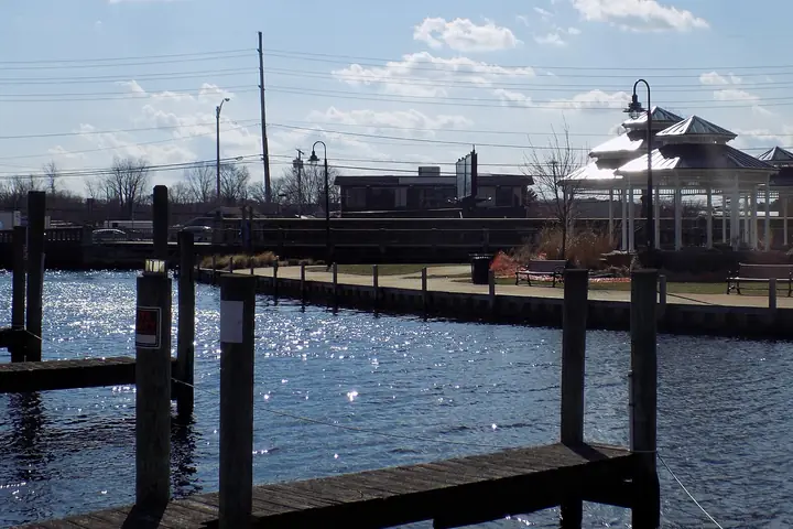
Sea-level figures for New Jersey are statewide, and the flood-day count comes from Atlantic City, in another county. Readers on a lagoon in Stafford or a back street in Brick should take these as direction and scale. They will not tell you what happens on your block.
How much has the water risen?
The New Jersey coast rose 17.6 inches, about 1.5 feet, from 1911 to 2019, against 7.6 inches globally, according to the 2019 Rutgers report summary published by NJDEP. The same document gives what it calls likely ranges from a 2000 baseline: 0.5 to 1.1 feet by 2030 and 0.9 to 2.1 feet by 2050.
| By | Scenario | Rise |
|---|---|---|
| 2030 | 2019 report, likely range from 2000 | 0.5-1.1 ft |
| 2050 | 2019 report, likely range from 2000 | 0.9-2.1 ft |
| 2100 | 2019 report, low emissions | 1.7-4.0 ft |
| 2100 | 2019 report, moderate emissions | 2.0-5.2 ft |
| 2100 | 2019 report, high emissions | 2.3-6.3 ft |
| 2100 | 2025 report, current trends | 2.2-3.8 ft, up to 4.5 ft with faster ice-sheet melt |
Rutgers/STAP summaries, 2019 report and 2025 report as summarized by Rutgers; statewide, not gauge-specific
Rutgers' summary of the 2025 report gives 2.2 to 3.8 feet by 2100 under current trends, a lower top than the 2019 high-emissions range. When someone quotes you a number, ask which report it came from.
How many flood days are we talking about?
At Atlantic City, 23 in 2024, and possibly 29 to 148 a year by 2050, in Rutgers' summary. That is a wide range, and it describes one gauge.
What does more high water mean for drains?
It means the pipe can run the wrong way more often. FEMA P-348 treats drain piping as a possible conduit for floodwater and backs a valve on the lateral. The manual was written for floods rather than tides, so treat the link as reasoning from FEMA's warning. If a floor drain gurgles or wets at the top of a tide, tell a plumber what you saw and when, and read our story on backwater valves.
What does it mean for a septic field?
A wet field cannot do its job. EPA's flood advice is to stop using the system until the field's water has fallen below the level around the house. The agency is writing about flooding, but it is the same physical question at high tide. Repeated sewage on the ground is a malfunction sign under the state's rule, and the owner has to report it, as our story on septic in sand explains.
What about flood vents and valves?
Keep flood openings clear, since they only work if water can pass. 44 CFR 60.3 calls for at least two, totaling one square inch per square foot of enclosed area, with the bottom within a foot of grade. FEMA's guidance places them on different sides. Our flood openings story does the arithmetic. Salt water is also hard on metal fittings, which is why FEMA's coastal manual has a sheet on building materials. Read about it in our salt air brief.
What should an owner plan for?
- Know your lowest drain, and note any tide that reaches it.
- Find out whether your lot is on sewer, and whether a valve exists on the lateral.
- Walk the enclosure: nothing stored against flood openings.
- List any equipment below the flood elevation, and ask a licensed plumber or electrician about it before the next high water.
- If you are on a well, ask what shape the cap is in. FEMA warns about floodwater where watertight caps are not used.
- Keep a photo log with dates. It costs nothing and helps whoever you call.
Also asked
Is Barnegat Bay rising as fast as Atlantic City?
The figures on this page are statewide or from the Atlantic City gauge, so they do not settle it. Ask the state rather than assuming the two match.
Will sea-level rise make my well salty?
The state's water supply plan names saltwater intrusion as a threat along the seaward and bayward edges of aquifers, and says large cones of depression near saltwater raise it. See our brief on saltwater and deep wells. None of that speaks to one house's well.
Should I raise my equipment now?
That call depends on your lot. FEMA documents say what should not sit below the flood elevation, so start by learning yours. A licensed plumber and your construction office can say what moving it takes.
Do these numbers change my flood insurance?
We do not give insurance advice. Ask your agent, with your elevation certificate in hand.
Who to ask
- Your municipal floodplain administrator: ask your base flood elevation and what the town requires.
- NJDEP: ask about the state's sea-level work and any Barnegat Bay data it holds.
- Your sewer utility: ask whether it sees tidal water in lines on your street.
Where this comes from
- NJDEP, 2019 Rutgers report summary - historic rise and projections.
- Rutgers RCEI, 2025 report summary - 2100 range, Atlantic City flood days.
- FEMA P-348 (2017) - drain piping as a floodwater conduit, valves, well caps.
- EPA, Septic Systems: What to Do After the Flood - field conditions.
- 44 CFR 60.3 - flood openings (text on Cornell's Legal Information Institute).
- Ready.gov, Floods - wet electrical equipment.
- NJ Water Supply Plan Appendix B - saltwater intrusion concern.