A shallow bay and the more than 600 square miles draining into it
Barnegat Bay at a glance is a 75-square-mile estuary of three shallow bays, Barnegat Bay, Manahawkin Bay and Little Egg Harbor, stretching more than 42 miles and draining a watershed of more than 600 square miles.
Compiled from the sources listed at the end. Sources checked .
For lagoon and bayfront houses, in all our towns.
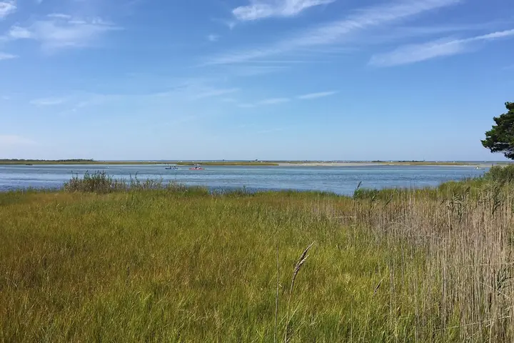
Those figures come from the Barnegat Bay Partnership's 2026 State of the Bay report, which runs the estuary from the Point Pleasant Canal to Little Egg Harbor Inlet and counts 11 rivers and streams draining into it. A video on this page tours the bay with the Partnership's 2021 report. Its figures are dated, including 74 percent of the bay approved for shellfishing in 2020 and Ocean County water withdrawals above target.
Where does the nitrogen come from?
Mostly by way of surface water. USGS researchers put the load through 2008 at 650,000 kilograms a year.
| Route | Share |
|---|---|
| Surface water | 66% |
| Atmospheric deposition | 22% |
| Direct groundwater | 12% |
USGS, Wieben and Baker, data through 2008
Those are routes, and they do not name sources. USGS also found base-flow total nitrogen at its highest in two rivers, the Toms and the North Branch Metedeconk, at 0.84 to 1.36 mg/L, where subbasins are heavily developed. In the Metedeconk, USGS slides describe chemical signals "consistent with possible septic, sewage, manure source." That wording is careful, and the evidence here does not make septic the main source.
What can a house do about it?
Look after what you already own. The figures above describe the whole watershed, and none of them can say what one house adds. A septic system kept to EPA's inspection and pumping schedule and the state's rules for sand is the part a homeowner controls. Anyone with a lagoon lot will also want our story on lagoon house plumbing.
Where this comes from
- Barnegat Bay Partnership, State of the Bay 2026 - size, bays, watershed.
- USGS, Wieben and Baker - nitrogen load and routes.
- USGS SIR 2012-5287 - base-flow nitrogen.
- USGS slides at the Pinelands Commission - isotope signals.