Ocean County's water comes from many suppliers and several different aquifers
Who supplies water in Ocean County changes from town to town, and on Long Beach Island from section to section. Municipal departments, utility authorities and Veolia all run systems here, and some houses sit on private wells with no supplier at all.
Compiled from the sources listed at the end. Sources checked .
For houses on a water utility, in all our towns.
The table below names each supplier. Each aquifer appears in the words of that supplier's report, with the report's year, because the same rock gets different labels from one report to the next.
Which supplier serves which town?
Your town's own utility is the usual answer, with Toms River on Veolia and Long Beach Island split among several departments.
| Town | Supplier | Source as the report words it | Read from |
|---|---|---|---|
| Lacey, Forked River | Lacey MUA | Seven wells in the Kirkwood-Cohansey, Atlantic City 800-Foot Sand and Potomac-Raritan-Magothy aquifers | 2026 report |
| Barnegat Township | Barnegat Township Utilities Department | Six wells, Kirkwood-Cohansey aquifer | 2026 report |
| Ocean Township, Waretown | Township of Ocean Department of Utilities | Five wells: three from the Cohansey, two from the Kirkwood | 2015 report, 2014 data |
| Stafford, Manahawkin | Stafford Township Water & Sewer | Should be listed in the township's annual report | Archived township page, Oct. 2026 |
| Barnegat Light | Barnegat Light Water Department | Three wells, Piney Point Aquifer, over 600 feet | Long Beach Township's High Bar reports |
| Harvey Cedars | Harvey Cedars Water Department | Two wells, Atlantic City Aquifer | Long Beach Township's 2025 Loveladies South report |
| Surf City | Surf City Water Department | Three wells, Atlantic City Aquifer, over 500 feet | 2025 report |
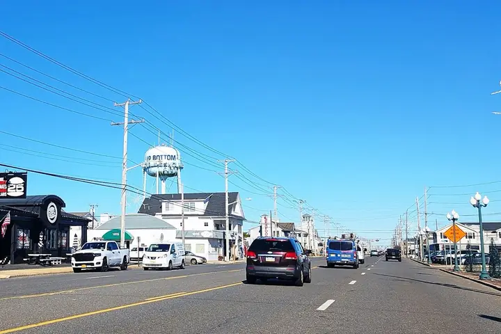
| Ship Bottom | Borough of Ship Bottom | Two wells, Atlantic City Aquifer, over 600 feet | 2026 report |
| Long Beach Township | Own wells in some sections, neighbors' water in others | Brant Beach area: five wells, Atlantic City Aquifer System, over 500 feet (2023). Holgate: two wells, over 450 feet, stated as Kirkwood-Cohansey (2025) | Township reports |
| Beach Haven | Beach Haven water department | "Kirkwood Aquifer, approximately 650 feet deep" | 2025 report |
| Toms River, South Toms River, parts of Berkeley | Veolia | Should be listed in Veolia's annual report | Veolia local projects page |
| Brick | Brick Township MUA | Metedeconk River, Brick Reservoir, wells nearly 2,000 feet deep in the Potomac-Raritan-Magothy, a small amount from the Cohansey | 2025 report |
Each supplier's annual report or web page, year shown, read through November 3, 2026
Each town has its own page with more detail: Lacey and Forked River, Waretown and Ocean Township, Barnegat, Stafford and Manahawkin, Long Beach Island, Toms River and Brick.
Why do the aquifer names differ so much?
They differ because suppliers pump from different depths and label them in their own ways. Barnegat Township draws on the Kirkwood-Cohansey. Barnegat Light, a separate place on the island, goes past 600 feet to the Piney Point. Brick adds a river.
The labels can also conflict. Beach Haven's report says Kirkwood at about 650 feet, while the state assessment it cites names the Atlantic City 800-foot Sand and the Kirkwood-Cohansey Water-table systems. We print what each one says and leave the geology to the New Jersey Water Supply Plan, which treats the 800-foot sand as vital to barrier island communities.
How can you tell whether you are on a well or a utility?
A regular water bill from one of the suppliers above means a utility; no bill and a pressure tank in the house usually means a well. A casing in the yard is a clue, though an old well can stay in the ground after a house connects.
Closing papers help too. Since September 2002, the Private Well Testing Act has required buyer and seller of a house with a private well to receive and review test results before closing. If yours include them, read the story on that test.
If you still are not sure, ask the utility for your town whether your address is a customer.
Is the town water here hard?
Lacey's is low in hardness, at 43 to 48.8 ppm in 2025 data. The same report gives a pH of 7.30 to 7.90.
That pH is a useful contrast. The state geological survey describes Kirkwood-Cohansey water as acidic and "highly corrosive," and private wells in that sand are often acidic. Lacey's plants and its mix of aquifers deliver something different at the tap. For your own town, the hardness and pH lines are in the annual report if the supplier tested them.
Where do you find your annual report?
Start with your supplier's website, and ask the office for a copy if you cannot find it. Some suppliers title it a consumer confidence report. Our brief on reading one explains the columns.
Which entries need a second look?
We could not confirm Stafford's aquifers, could not find Veolia's report for Toms River, and do not list what NJ American Water serves in the county, so customers of those three should go to their own reports.
Stafford's archived page names the systems and nothing about their aquifers. State papers from the 1990s describe the Toms River wells of that time, and they cannot stand in for today. The Township of Ocean report here is from 2015, and Long Beach Township's figures come from earlier years because its 2026 reports are scanned images.
Also asked
Is Barnegat Light's water the same as Barnegat's?
No. Barnegat Township on the mainland has six Kirkwood-Cohansey wells. Barnegat Light on the island has its own department and three wells in the Piney Point. The names are close and the systems are separate.
Why does Long Beach Township have so many reports?
Its sections are served differently. Brant Beach and Holgate have township wells, High Bar Harbor and Loveladies North buy from Barnegat Light, Loveladies South from Harvey Cedars, and North Beach from Surf City.
Can one town have more than one system?
Yes. Stafford's page lists separate systems for the township, Cedar Bonnet Island and Fawn Lakes, each with its own state ID, so check which one your report covers.
Does Toms River's system connect to its neighbors?
Veolia describes summer interconnections with NJ American Water and the Manchester Township Water Utility. It also counts 24 production wells and 2 Aquifer Storage Recovery wells in service.
Who to ask
- Your town's water department or utility authority: whether your address is a customer, and a copy of the latest annual report.
- Ocean County Health Department: questions about private wells, testing and county certification.
- New Jersey Department of Environmental Protection: PFAS results for a public system, through its Drinking Water Watch.
Where this comes from
- Lacey MUA 2026 report - wells, aquifers, mains, pH, hardness.
- Barnegat 2026 report - wells, aquifer and capacity.
- Township of Ocean 2015 report - wells and aquifers, 2014 data (archived copy).
- Stafford Water & Sewer page - named systems (archived copy).
- Long Beach Township report index - section reports, including 2026 scans.
- High Bar Harbor 2025 report - Barnegat Light as supplier.
- Loveladies South 2025 report - Harvey Cedars as supplier.
- Surf City 2025 report - wells and aquifer.
- Ship Bottom 2026 report - wells and aquifer.
- Brant Beach 2023 report and Holgate 2025 report - township wells.
- Beach Haven 2025 report - aquifer wording.
- Veolia local projects page - Toms River service area and wells.
- BTMUA 2025 report - Brick's sources.
- NJ Geological Survey circular on the Kirkwood-Cohansey - aquifer description (archived copy).
- NJ Department of Health private wells FAQ - private well background.